Showing posts with label countryside. Show all posts

Tuesday, 24 June 2025

YARRAWONGA

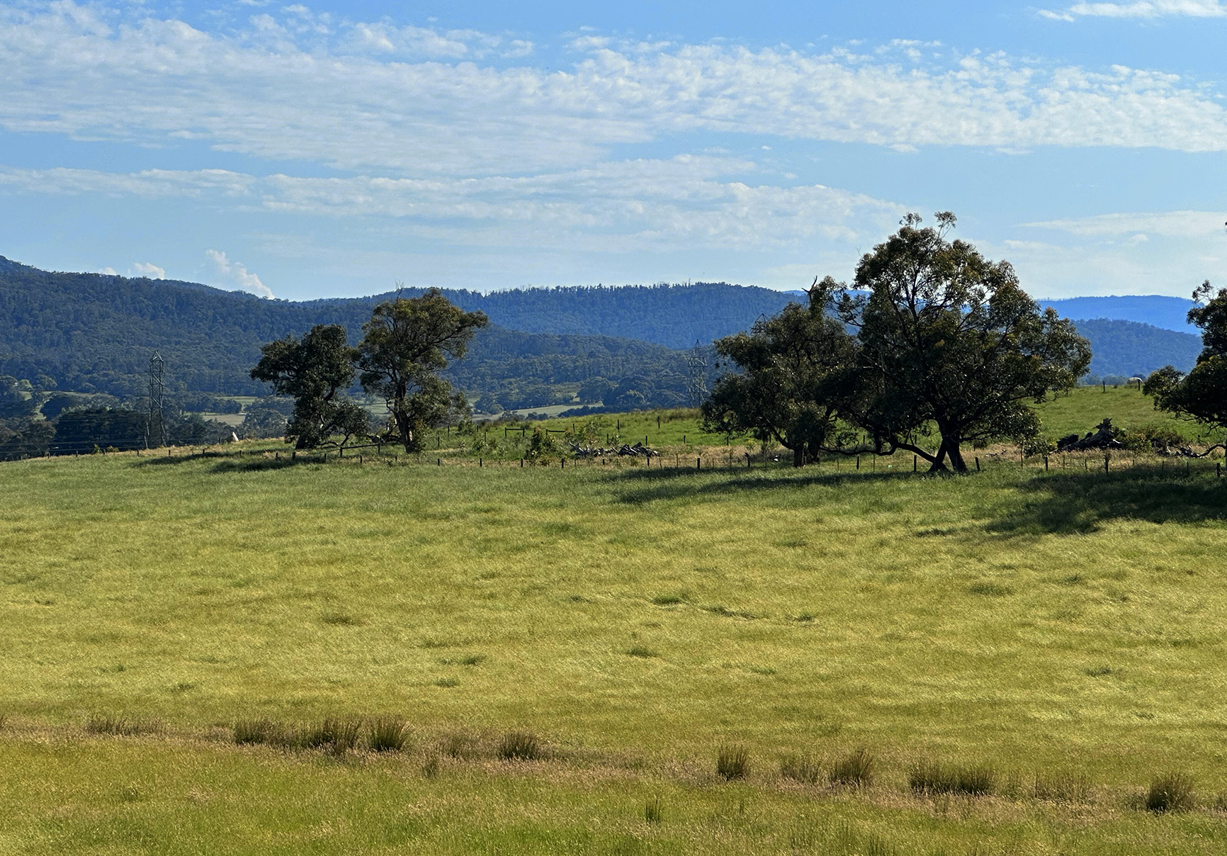
Yarrawonga is a town in the Shire of Moira local government area in the Australian state of Victoria. In the 2021 census, Yarrawonga had a population of 8,661 people. The town is located approximately 264 kilometres north-east of the state capital, Melbourne, situated on the south bank of the Murray River, the border between Victoria and New South Wales. Yarrawonga's twin town of Mulwala is on the other side of the Murray River.

Yarrawonga's main attraction is Lake Mulwala, formed by the damming of the Murray River. The lake is a popular location for activities such as boating, kayaking and fishing. There are two crossings of the Murray between Yarrawonga and Mulwala; across the weir (Walking path only); and a bridge over Lake Mulwala. This bridge contains an unusual bend and dip in the middle, a result of miscommunication between the two state governments...

The "dead trees" in Lake Mulwala are a distinctive feature of the landscape, resulting from the lake's creation in 1939. Originally, the area was cleared for the lake, but some trees were left standing when the area was flooded. These trees have since died and become a unique part of the lake's scenery, providing a striking visual element and habitat for some wildlife.

This post is part of the Travel Tuesday meme


Tuesday, 17 June 2025

FOGGY COUNTRYSIDE

Wintry landscape in country Victoria. The fog is lifting ever so slowly in the morning, but the grazing horses don't seem to mind. Gum trees are evergreen, and normally snow doesn't fall in low country such as this. However, there are plenty of cafés, pubs, delis and restaurant where fire is roaring in the fireplace and lots of delicious local food is served with piping hot drinks.

This post is part of the Travel Tuesday meme


Tuesday, 20 May 2025

CRAIGIEBURN

Craigieburn is a suburb in Melbourne, Victoria, Australia, 25 km north of Melbourne's Central Business District, located within the City of Hume local government area. Craigieburn recorded a population of 65,178 at the 2021 census.
Craigieburn is a satellite suburb located on the urban-rural fringe of Melbourne, ranging from the lower half of Bridgewater Road to Mount Ridley. A large majority of the suburb is more than 200 metres above sea level, with Mount Ridley being the northernmost hill in northwestern metropolitan Melbourne with clear views of Melbourne's central business district 29.7 km away.
Many parks and rural areas make for a pleasant place to live, but also there are many options for short stays and weekend getaways.

This post is part of the Travel Tuesday meme

Tuesday, 13 May 2025

GIPPSLAND HILLS

Gippsland Hills are rolling, verdant hills of the Gippsland region in Victoria, Australia, particularly in the South Gippsland area. This region is known for its picturesque landscapes, agricultural activities (especially dairying), and charming coastal towns. It's a popular destination for travellers seeking a peaceful escape and experiences like exploring coastal paths, visiting local farms and markets, and enjoying the region's natural beauty.

This post is part of the Travel Tuesday meme


Tuesday, 8 April 2025

VICTORIAN COUNTRYSIDE

This is a typical rural vista in central Gippsland, showing the rich farmland and occasional hills in the background.

This post is part of the Travel Tuesday meme


Tuesday, 4 March 2025

WILSON'S PROM

Wilsons Promontory is a peninsula that forms the southernmost part of the Australian mainland, located in the state of Victoria, about 200 km southeast of Melbourne CBD. Coastal features include expansive intertidal mudflats, sandy beaches and sheltered coves interrupted by prominent headlands and plunging granite cliffs in the south, backed by coastal dunes and swamps. The promontory is surrounded by a scatter of small granite islands which, collectively, form the Wilsons Promontory Islands Important Bird Area, identified as such by BirdLife International because of its importance for breeding seabirds.

Wilsons Promontory is home to many marsupials, native birds and other creatures. One of the most common marsupials found on the promontory is the common wombat, which can be found in much of the park (especially around campsites where it has been known to invade tents searching for food). The peninsula is also home to kangaroos, snakes, wallabies, koalas, long-nosed potoroos, white-footed dunnarts, broad-toothed rats, feather-tailed gliders and emus. Some of the most common birds found on the promontory include crimson rosellas, yellow-tailed black cockatoos and superb fairywrens. There are also many pests, including hog deer, foxes, feral cats, rabbits, common starlings, and common blackbirds.

This post is part of the Travel Tuesday meme
and also part of the Roentare’s Water Meme.


Tuesday, 14 January 2025

ROAD TRIP

A road trip, sometimes spelled roadtrip, is a long-distance journey traveled by car. When I was younger, this was something I enjoyed and used to do a lot of, all around the world. Times were a little different then and one felt safer on the roads, being able to depend on the fellowship and help of other drivers on the road, especially in remote locations.

A little different nowadays, as many hidden dangers lurk on our highways and one has to be very careful on a road trip. Nevertheless, it still is a worthwhile adventure and with good planing it can turn out very well. Are you a fan of road trips?

This post is part of the Travel Tuesday meme

Wednesday, 11 December 2024

DAM

Farm dams are an omnipresent feature in the agricultural landscapes of eastern Australia, providing essential water for stock, crops, households and for native wildlife. They have typically been shaped like a shallow pond in which water accumulates and is accessed by animals.

In the context of a changing climate, water loss from farm dams by evaporation is likely to increase due to more extended dry periods, meaning traditional dams may become a less secure farm water source. This heightens the need for careful farm water planning and dam management.

Good design, construction and management of farm dams can pay significant dividends for farm productivity and for the environment. Enhancement of existing dams has significant benefits for agricultural productivity, biodiversity and climate management, through improved water quality, improved water persistence, improved provision of ecosystem services and reduced greenhouse gas emissions.

This post is part of the Roentare’s Water Meme,
and also part of the Wordless Wednesday meme,
and also part of the Nature Notes meme.


Tuesday, 10 December 2024

BUCOLIC SCENE

Lush countryside in Gippsland, less than an hour's drive from Melbourne. Ideal location for a day trip, and the "Deli Trail" is a must for foodies. One may find numerous outlets selling produce and gourmet food, including cheeses, free-range meats, seafood, and organic fruits and vegetables. The region's wineries are gaining recognition for producing premium, cool climate wines, with over 30 cellar doors open to the public, offering diverse food and wine.

This post is part of the Travel Tuesday meme


Tuesday, 3 December 2024

IDYLLIC

A farm and a farmhouse, rolling hills and horses to ride on. A forest in your back yard, and wake to the sound of birdsong every day. Quiet place, clean air, and only an hour by train from the City...

This post is part of the Wordless Wednesday meme,
and also part of the Nature Notes meme.


Tuesday, 5 December 2023

WEST GIPPSLAND

The lovely countryside of West Gippsland on a perfect early Summer's day.

This post is part of the Travel Tuesday meme


Tuesday, 14 November 2023

LUSH

Lush farmland and wooded hills in West Gippsland. A rich fertile area that offers many attractions and is only a short drive from Melbourne. Many cafés, restaurants, cellar doors and breweries  are to be visited, serving up award-winning cool-climate wines, mouth-watering farm-fresh cheeses, small batch craft beers and gins, and menus packed with the best regional produce.

This post is part of the Travel Tuesday meme


Saturday, 8 July 2023

CATTLE IN GIPPSLAND

Black Angus cattle originated in Scotland in the Aberdeenshire area. The breed remains very successful in both Scotland and Ireland, but is now established in many countries around the world, including Australia and USA.

Most Black Angus cattle are medium to large, naturally polled with large muscle content. Average body weight for bulls is about 1,870 pounds, while cows weigh in at 1,200. Known for their heartiness, the Angus was bred to survive harsh Scottish winters with lots of snow. Overall the breed is known for a relatively easy temperament and fast growth. The darker hide pigmentation protects the breed against cancer eye and sun- and snow-burned udders, and the breed is known for easy calving.

This post is part of the Saturday Critters meme


Tuesday, 9 May 2023

CATTLE COUNTRY

Gippsland is an economic rural region of Victoria, Australia, located in the south-eastern part of that state. It covers an area of 41,556 square kilometres, and lies to the east of the eastern suburbs of Greater Melbourne, to the north of Bass Strait, to the west of the Tasman Sea, to the south of the Black-Allan Line that marks part of the Victorian/New South Wales border, and to the east and southeast of the Great Dividing Range that lies within the Hume region and the Victorian Alps.

Gippsland is generally broken down into the East Gippsland, South Gippsland, West Gippsland, and the Latrobe Valley statistical divisions. As at the 2016 Australian census, Gippsland had a population of 271,266, with the principal population centres of the region, in descending order of population, being Traralgon, Moe, Warragul, Morwell, Sale, Bairnsdale, Drouin, Leongatha, and Phillip Island.

Gippsland is best known for its primary production such as mining, power generation and farming as well as its tourist destinations— Phillip Island, Wilsons Promontory, the Gippsland Lakes, Walhalla, the Baw Baw Plateau, and the Strzelecki Ranges.

This post is part of the Travel Tuesday meme


Tuesday, 2 May 2023

GIPPSLAND

Gippsland is an economic rural region of Victoria, Australia, located in the south-eastern part of that state. It covers an area of 41,556 square kilometres, and lies to the east of the eastern suburbs of Greater Melbourne, to the north of Bass Strait, to the west of the Tasman Sea, to the south of the Black-Allan Line that marks part of the Victorian/New South Wales border, and to the east and southeast of the Great Dividing Range that lies within the Hume region and the Victorian Alps. Gippsland is generally broken down into the East Gippsland, South Gippsland, West Gippsland, and the Latrobe Valley statistical divisions.

As at the 2016 Australian census, Gippsland had a population of 271,266, with the principal population centres of the region, in descending order of population, being Traralgon, Moe, Warragul, Morwell, Sale, Bairnsdale, Drouin, Leongatha, and Phillip Island. Gippsland is best known for its primary production such as mining, power generation and farming as well as its tourist destinations— Phillip Island, Wilsons Promontory, the Gippsland Lakes, Walhalla, the Baw Baw Plateau, and the Strzelecki Ranges.

This post is part of the Travel Tuesday meme


Tuesday, 21 March 2023

INVERLOCH

Inverloch is a seaside village in Victoria, Australia. It is located on the Bass Highway 143 kilometres southeast of Melbourne, at the mouth of Anderson Inlet, in the Bass Coast Shire and is located close to Australia’s southernmost stand of mangroves. At the 2006 census, Inverloch had a population of 4,140.

Inverloch is a popular tourist destination, particularly for surfers, kitesurfers, windsurfers and fishers. The town hosts a jazz festival each Labour Day long weekend in March. Inverloch's amenities include a visitor information centre, two Pubs, three motels, seven bed and breakfasts, three caravan parks and a foreshore camping reserve. Like most other Australian coastal towns Inverloch has a local surf lifesaving club.

During 2005 and early 2006 the RACV built an eco-village holiday resort on the Cape Paterson Road near Inverloch. Inverloch is a popular holiday resort town for Melbournians and many of them have holiday houses here.